Tesla Builds In-House Mapping System to Resolve FSD Navigation Gaps
The automaker is developing a proprietary map layer to address persistent errors in speed limit recognition and route planning, marking a strategic pivot from its previous vision-only approach.
By Sarah Montgomery ·
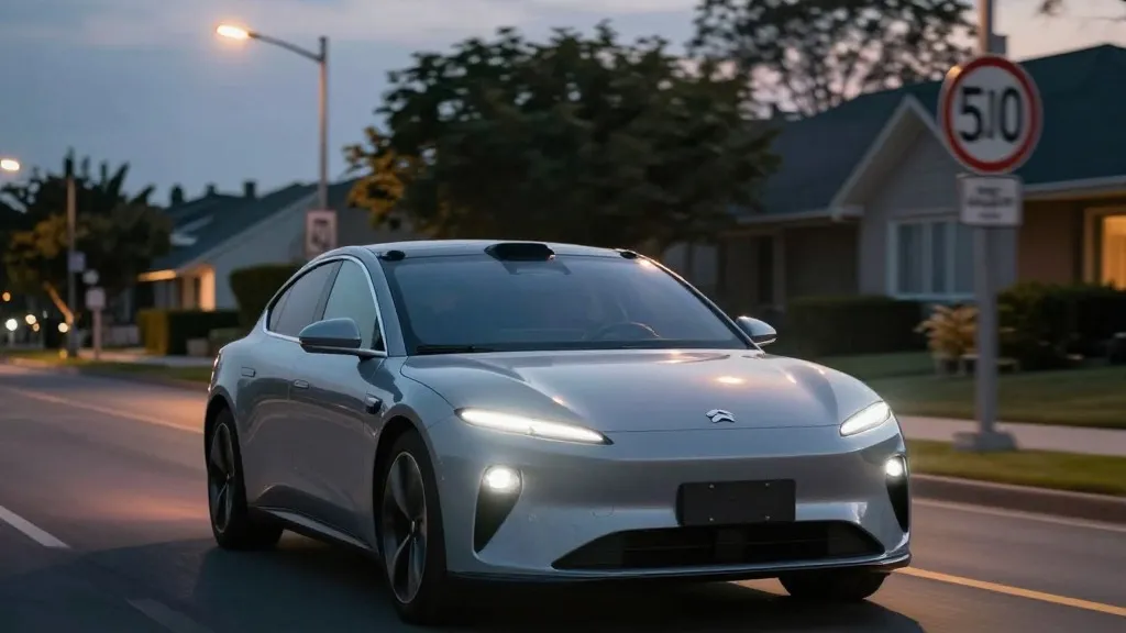
In a notable shift in strategy, Tesla has announced it is developing its own mapping infrastructure to correct frequent errors in its Full Self-Driving software. The company’s head of AI, Ashok Elluswamy, detailed the initiative during the Q3 2026 earnings call. The primary goal is to reduce reliance on third-party data, which has led to issues with reading speed limits, identifying parking spots, and selecting optimal routes.
The decision represents a significant departure from the company’s historical stance. For years, Tesla’s leadership argued that self-driving systems dependent on detailed maps were fragile and unnecessary. This view was most prominently articulated by CEO Elon Musk in 2019, when he described high-precision lane maps as a huge mistake that made systems extremely brittle. At the time, Tesla positioned its vision-based approach as superior to competitors who relied on lidar and cartographic data.
The pivot follows a specific inquiry from a retail investor during the shareholder question and answer session. The investor noted that mapping remains a persistent problem for FSD, specifically citing speed limits, parking, and typical routes as the most common failures. Elluswamy agreed that the company should not depend on external providers for this critical data. He explained that the new system uses an AI-based architecture fed by the collective learning of the Tesla fleet. This infrastructure will also account for individual driver preferences and respond to voice commands.
The implementation of this technology will occur in phases. It will begin with FSD v15, handling the start and end of trips. Over the following months, the system is expected to take over navigation, parking, and destination management. This rollout aligns with the operational model of Tesla’s Robotaxi service, which currently operates within geofenced areas and manages fleet operations city by city.
However, the move highlights a discrepancy between Tesla’s past marketing and its current technical reality. Critics point to recent data showing that FSD still struggles with basic environmental cues. Last month, a Belgian road safety group found that FSD vehicles exceeded speed limits in 55 percent of 30 km/h zones tested in Brussels. The average speed recorded was 44 km/h, partly because the car’s display often showed an incorrect 50 km/h limit. In the United States, the NHTSA is also weighing an investigation into claims that Tesla Robotaxis speed through active school zones, a review covering approximately 1,000 Model Y and Cybercab vehicles.
The new approach brings Tesla closer to the methodology used by Waymo. Waymo creates detailed maps by driving sensor-equipped vehicles through cities before launching service and continues to update those maps as its fleet operates. Tesla is now describing a similar process where its cars collect data to build a map that improves driving performance for the entire fleet. The main technical difference remains that Waymo’s vehicles are equipped with lidar, whereas Tesla relies primarily on cameras and AI.
While building internal maps is not inherently contradictory, the specific problems Tesla is trying to solve suggest that vision alone may not be sufficient. Speed limits and route selection require a deep understanding of the environment that the current end-to-end vision system often fails to provide. If a better map is the solution, it implies that the vision system cannot reliably interpret simple road information on its own.
This development raises questions about the timeline for unsupervised FSD in consumer vehicles. The company has previously targeted Q2 2027 for this milestone. As Tesla builds its map layer and continues to operate within geofences, the distinction between its approach and that of its competitors continues to blur. Both companies are now using fleet-collected data to create map layers, with the primary difference being the presence of lidar in the competing vehicles.