Cold front drops Orlando weekend temps to 80s
Humidity plummets as northerly winds arrive, while St. Johns River water levels continue to climb toward major flood stage.
By Malik Salazar ·
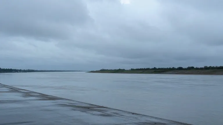
Water levels on the St. Johns River are rising at a pace that has pushed locations near major flood stage, a development that complicates the weekend outlook for Central Florida. River flood warnings remain active for Cocoa, Geneva, Sanford, DeLand, and Astor. Officials expect conditions to worsen before they improve as a large volume of water from Monday's historic flooding moves north through the basin over the next several days.
A cold front is set to sweep through the region on Saturday, bringing a noticeable shift in comfort levels. Highs will stay in the low to mid-80s on Saturday, but northerly winds will begin to strip away humidity. By Sunday, the sky should be mostly sunny and pleasant, with temperatures falling into the upper 70s and lower 80s. This marks a clear break from the humid conditions that have defined the week.
Friday presents a mixed bag of weather. Temperatures will hit the mid-80s, accompanied by high humidity. Isolated showers are possible along the Treasure Coast late in the morning and across northern Central Florida in the afternoon. Most areas will remain dry, with rainfall generally staying under 0.25 inches.
The cooler pattern is expected to persist into next week. Highs should generally remain in the upper 70s to lower 80s. Morning lows will drop to the upper 50s northwest of Interstate 4, while other areas will see lows in the 60s. Rain chances are low on Monday and Tuesday, rising to 10% to 20% through Wednesday.
Another atmospheric disturbance may bring increasing showers from Wednesday into Thursday. Rain chances could reach 30% on Thursday, though timing remains uncertain. Severe weather is not anticipated during this window. The cooler trend offers a reprieve from the heat, but the river situation requires continued attention from residents in affected areas.
Dangerous marine conditions are also in play for beachgoers and boaters. High rip current risk exists at all Central Florida Atlantic beaches through the weekend and potentially into early next week. Swells generated by non-tropical low pressure east of the Bahamas are keeping surf conditions hazardous. Seas are currently 3 to 5 feet and are building to 4 to 6 feet, especially offshore, as the weekend approaches.