
Cold front cuts southern Colorado highs by 15 degrees with rain
Gusts up to 45 mph and up to 0.75 inches of rain arrive Saturday, ending a warm stretch.
By Malik Salazar ·
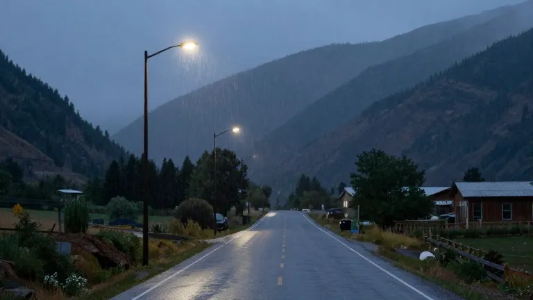
A cold front sweeps into southern Colorado on Saturday, dropping temperatures 10 to 15 degrees below the recent warm spell. The shift brings strong winds and up to 0.75 inches of rain to the region, replacing the above-average heat of the past few days.
Friday remains warm but wet. Pueblo County faces on-and-off showers with a high of 81, while the eastern plains hit 83. Canon City reaches 75 before a brief pause in moisture. Colorado Springs climbs to 73 with a dry afternoon, but winds begin to build as the front approaches.
The San Juan Mountains face continued hazards. Heavy rainfall persists into Friday, keeping flood watches and thunderstorm warnings in effect. Flooding and mudslide risks remain high across the southwestern corner and western slope. Snow levels are expected to lower once the front passes.
Saturday marks the sharp turn. The front crosses the state early in the day, pushing temperatures below average. Gusts of 40 to 45 mph sweep through the area. Tropical moisture shifts east, delivering the bulk of the weekend precipitation.
Woodland Park cools to a high of 56, with cold rain and potential snow. The eastern plains see a low of 60 before the drop. Total rainfall across the region ranges from 0.10 to 0.75 inches, depending on location.
Overnight lows on Thursday settled in the 40s and 50s, with scattered showers over the Pikes Peak Region. The extended outlook shows next week drying out. Temperatures return to seasonal levels after the weekend storm system moves out.
More News · Colorado Springs news · Report a business · Got a Story?